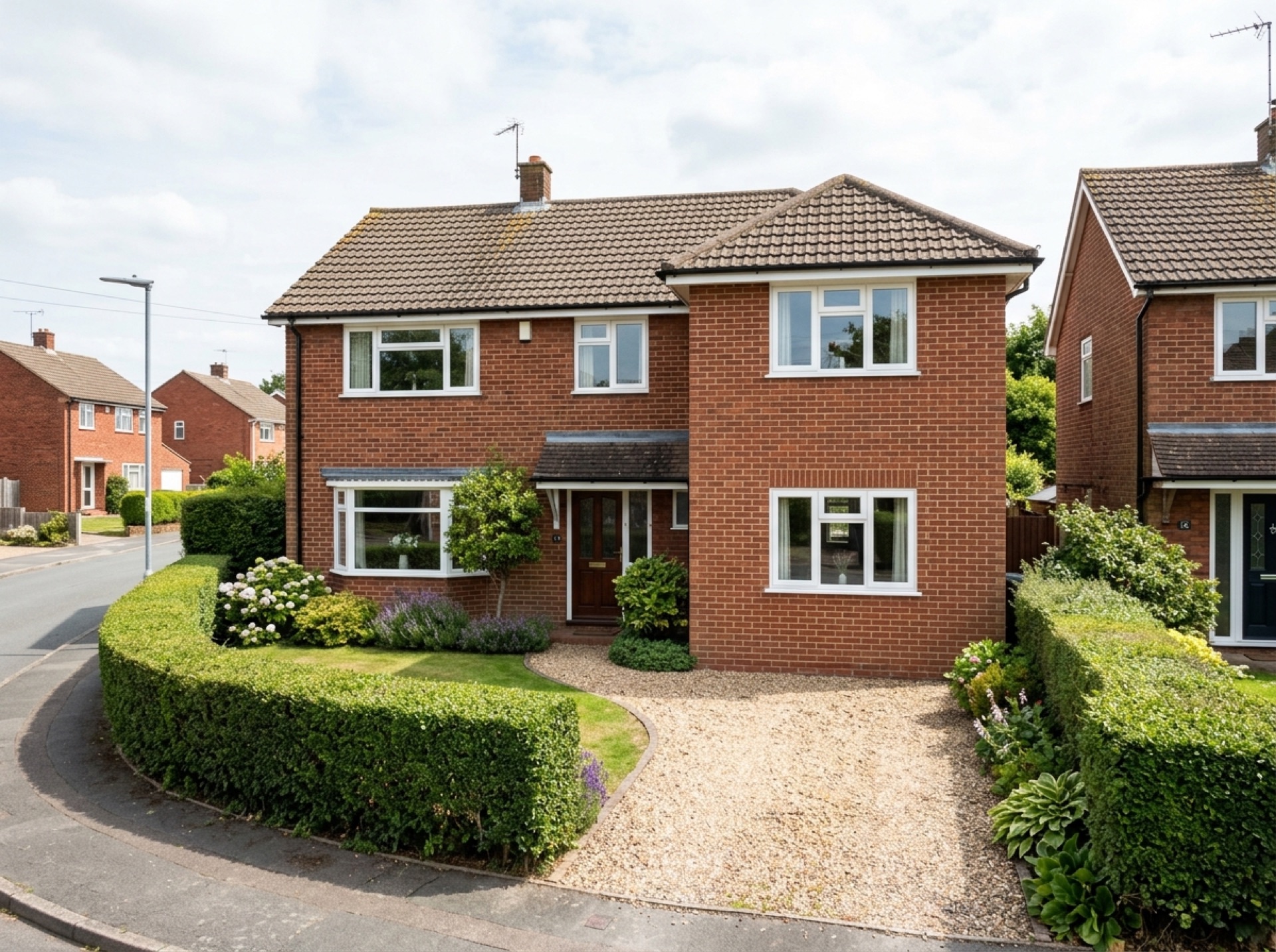
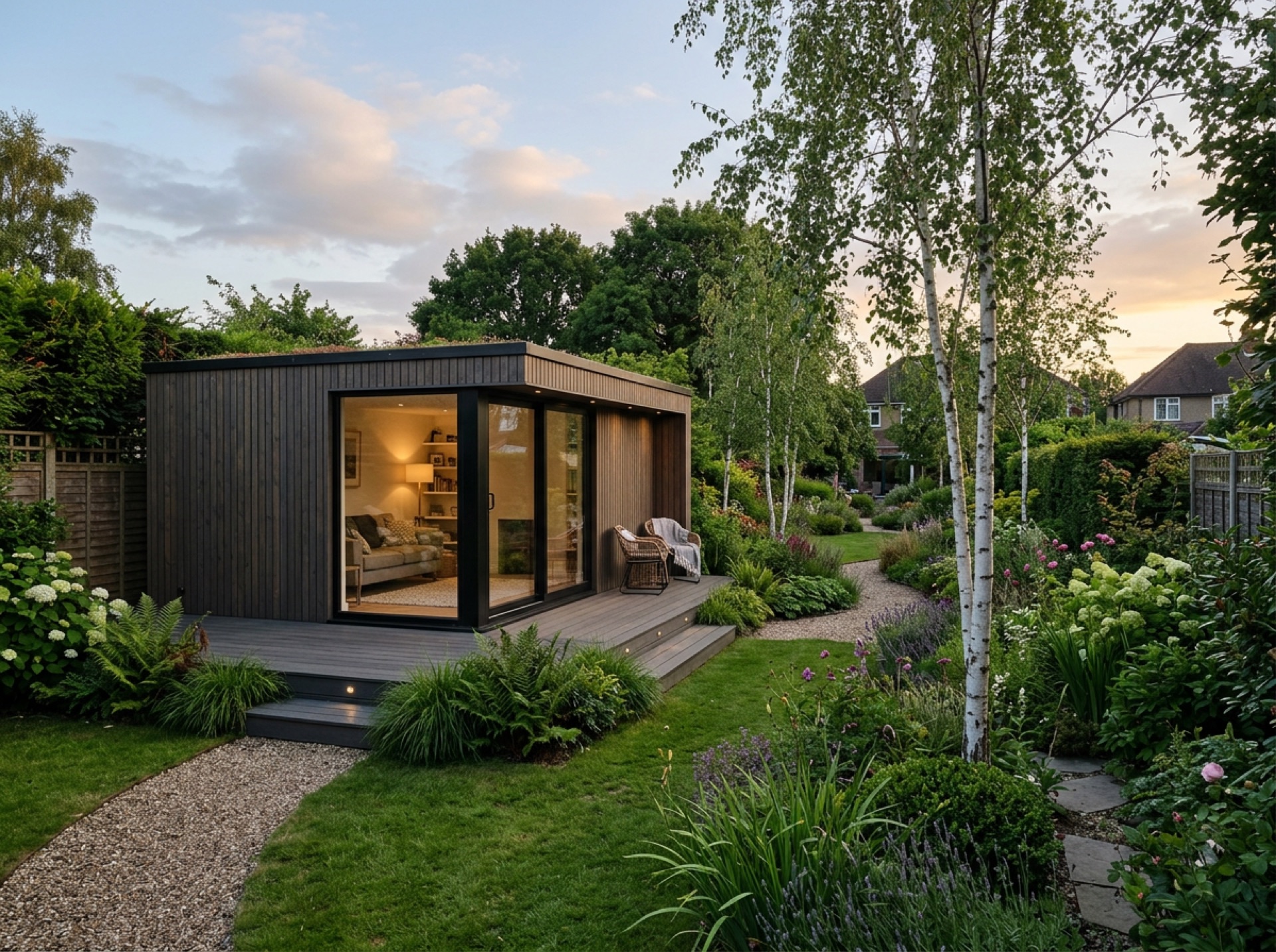
A village on the London to Brighton road
Salfords lies along the A23, historically part of the main road between London and Brighton, which has shaped the village's layout and its more recent growth alongside the road.
Part of a wider parish
Salfords shares its civil parish with the smaller, more rural village of Sidlow to the south, together forming the parish of Salfords and Sidlow.
Reigate and Banstead's authority
Salfords falls within Reigate and Banstead Borough Council, the same authority that covers Reigate, a short distance to the north.
Frequently asked questions
What parish is Salfords part of?+
Salfords and Sidlow, a civil parish that covers both Salfords and the smaller village of Sidlow to its south.
Which council covers Salfords?+
Reigate and Banstead Borough Council, the same authority that covers Reigate.
Nearby areas
Services
Useful local links
- Reigate and Banstead Borough Council – Planning — The planning authority covering Reigate itself, along with Redhill, Horley, Banstead and several nearby villages.
- Mole Valley District Council – Do I need planning permission — The planning authority covering Dorking, Ashtead, Leatherhead and several villages southwest of Reigate.
- Epsom and Ewell Borough Council – Planning permission — The planning authority covering Epsom, a separate borough from Reigate and Banstead.
- Tandridge District Council – Planning and building — The planning authority covering Caterham, Nutfield and South Nutfield.
- GOV.UK – Planning permission: when you need it — Government guidance on when planning permission is required in England and Wales.
- GOV.UK – Party Wall etc. Act 1996 guidance — Government guidance on notifying neighbours and resolving disputes over shared or boundary walls, relevant to attached garage conversions and extensions.
- Planning Portal – Garage conversion — National guidance on when planning permission is needed for a garage conversion in England.